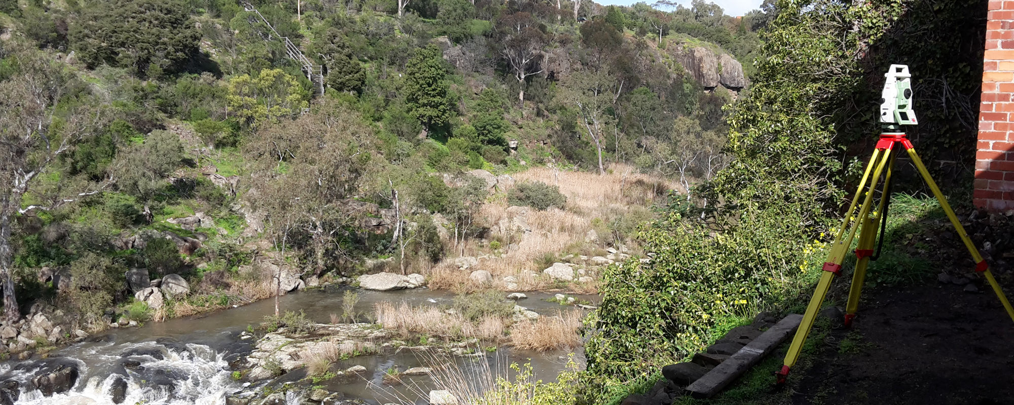
Title Re-establishment Survey – restore your boundaries
When do I need one?
Are you replacing a fence, updating your landscaping, renovating your home, subdividing your land or buying a new property? Fences don’t always represent true boundary position. Knowing your actual property boundaries could be an important part of the process to help prevent potential disputes with neighbours, re-establish existing boundaries and/or meet legal requirements. From landowners to large-scale developers, whenever you’re subdividing, building on a boundary, moving fences or marking unclear boundaries, you’ll need a Title Re-Establishment Survey.
What does a Title Re-Establishment Survey include?
The survey redefines the original position of your property’s boundaries from when it was last surveyed. Only a Licensed Land Surveyor can perform a Title Re-Establishment Survey, which involves:
- Reviewing your property’s survey history and title information
- Locating survey information on site
- Comparing and calculating the positon of your current title boundarie
- Locating and marking new boundaries (where practical) on your property
- Preparing a Title Re-Establishment Plan
- Preparing evidence of your Title Re-Establishment to submit with Land Registry
Title Amendments and Title Conversions – change your boundaries
When do I need it?
When you need to change the boundaries on your title. Perhaps your fencing is out of position or there are discrepancies in the titles register.
A Title Conversion is required when your title needs to be converted from the old general law system to the new Torrens Title system.
How do I amend or convert my title?
You need to submit an application for Title Amendment/Conversion with the Titles Office. Your lawyer or solicitor may complete the application on your behalf and include supporting documents from a Licensed Land Surveyor.
If your application is successful, your new plan of survey will legally replace the current one.
What surveying is involved?
Our Licensed Land Surveyors can provide the required surveys and documentation you need for Title Amendment or Title Conversion applications including:
- Title Re-Establishment Survey
- Surveyor’s Report
- Abstract of Field Records
- Plan of Survey
Once completed we then lodge the necessary documentation electronically via the state government’s online SPEAR system (Surveying and Planning through Electronic Applications and Referrals). Your lawyer can access these documents online to include in their preparation and lodgement of your Title Amendment/Conversion application.
Consolidation of Titles – combine your boundaries
When do I need it?
When you’re merging two or more parcels of land onto one title. Perhaps you purchased the lot next door and you want to create one big lot.
How do I consolidate titles?
You need to complete and lodge an application for Consolidation with Land Use Victoria, usually via the state government’s online SPEAR system (Surveying and Planning through Electronic Applications and Referrals).
As registered SPEAR applicants, we can lodge and coordinate your application electronically. The Responsible Authority (council) and the Lodging Party (your lawyer/conveyancer) will also use SPEAR to prepare, submit and process your application and supporting documents.
As Licensed Land Surveyors, we can complete the following steps for you:
- Preparing your 'Plan of Consolidation'
- Preparing and submitting your application for certification (aka Statement of Compliance or SOC) with council
- Preparing your 'Surveyor’s Report'
- Signing and submitting the council's certified 'Plan of Consolidation' and 'Surveyor’s Report' on the SPEAR system. Your lawyer will then use these documents to lodge with their application for Consolidation at Land Use Victoria
Easement and Covenant Creation, Variation and Removals – your property and your rights to change
When do I need one?
Easements - when you want to change the way others use your land or the way you use theirs. Put simply, an easement embodies the right to use or cross someone else’s land.
Covenants - when you want to change the restrictions on your land. Perhaps you need to change your building envelope or move your setback a little? Put simply, a covenant protects the land and how it’s used (not the individual).
How do I change an easement or covenant?
You need to complete and lodge a Planning Permit application for Easement or Covenant Creation/Variation/Removal with Land Use Victoria. Most applications are lodged via the state government’s online SPEAR system (Surveying and Planning through Electronic Applications and Referrals).
As registered SPEAR applicants, we can lodge and coordinate your application electronically. The Lodging Party (your lawyer) and Responsible Authority (council) will also use SPEAR to prepare, submit and process your application and supporting documents.
As Licensed Land Surveyors, our team can complete the following steps for you:
- Preparing a Creation/Removal/Variation of Easement or Covenant Plan
- Preparing and submitting your application with council for certification (aka Statement of Compliance or SOC)
- Preparing a Surveyor’s Report
- Signing and submitting the council certified Plan and Surveyor’s Report on SPEAR for your lawyer to lodge with Land Use Victoria

